Carol Mendel's
illustrated maps
of Los Angeles &
Orange County
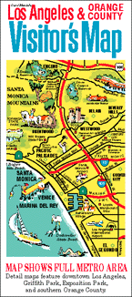
Carol Mendel's illustrated maps are full-color, pictorial maps of major visitor destinations. The large type makes them easy to read, and the many illustrations make them fun to use.
The main map in this visitor map was a 24" x 18" map of the Los Angeles metropolitan area. It covered the area from the Pacific Ocean on the west to Ontario on the east, and from the San Gabriel mountains on the north to Newport Beach on the south. It is shown below.
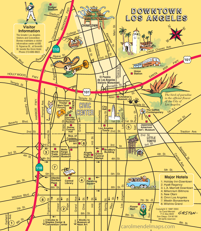
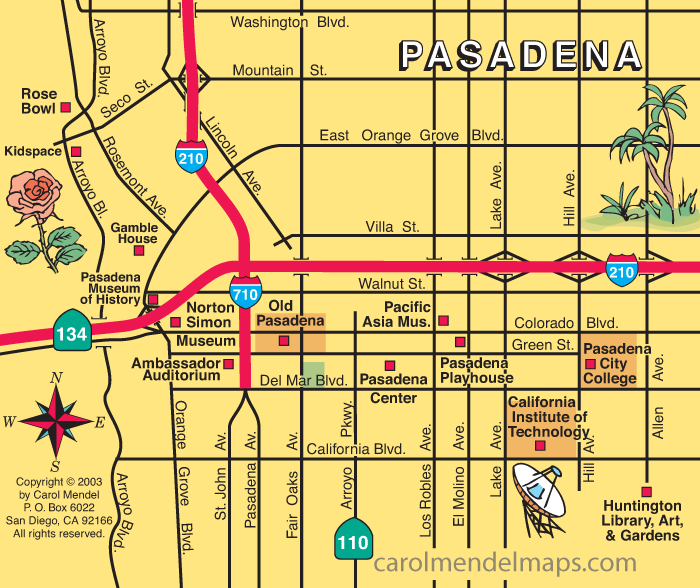
The other side of the map included maps of Downtown Los Angeles, Exposition Park, Griffith Park, Dowtown Pasadena, and southern Orange County. The maps of downtown Los Angeles and downtown Pasadena are shown farther down on this page.
Although the paper version of the Los Angeles & Orange County Visitor's Map is no longer published, the metro area map lives on in the form of a wooden serving tray. See below.
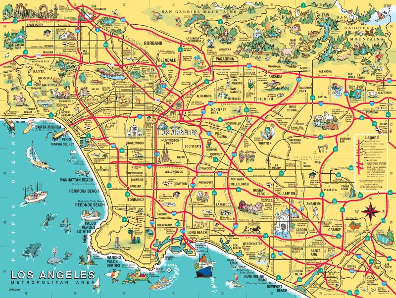
For an enlarged version of this map, plus additional information about the map, go here.
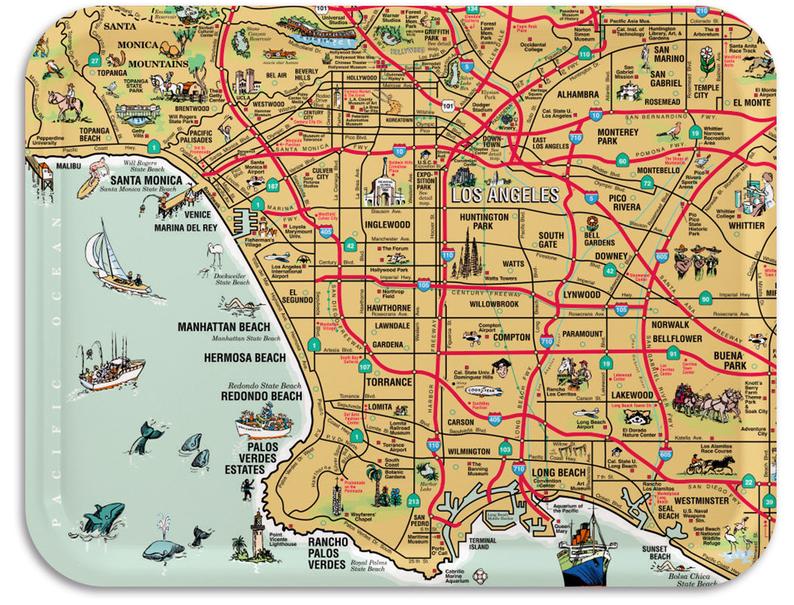
This is the wooden serving tray based on that map. [DETAILS]
For an enlarged version of this map, plus additional information, go here.
For an enlarged version of this map, plus additional information, go here.
Copyright © by Carol Mendel