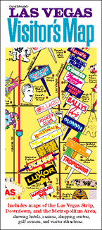
Carol Mendel's
Las Vegas Visitor's Map
A paper map that includes two maps of the Las Vegas area
 This is a full-color, pictorial map of the Las Vegas area. The large type makes it easy to read, and the many illustrations make it fun to use.
One side of the map features the areas of downtown and "The Las Vegas Strip," showing hotels, casinos, shopping centers, golf courses, and visitor attractions.
The other side of the map includes indexes, information about golf courses and visitor attractions, and a map of the metropolitan area.
The map measures 18” x 24”, folded to 4” x 9”. It was first published in 1993. The most recent update was in 2011.
Unforunately, this map is now out of print.
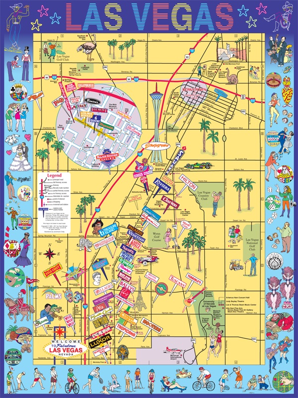
This 18" x 24" map of the Las Vegas Strip and downtown area covers one side of the Las Vegas Visitor's Map. For an enlarged version of this map, plus additional information about it, go here.
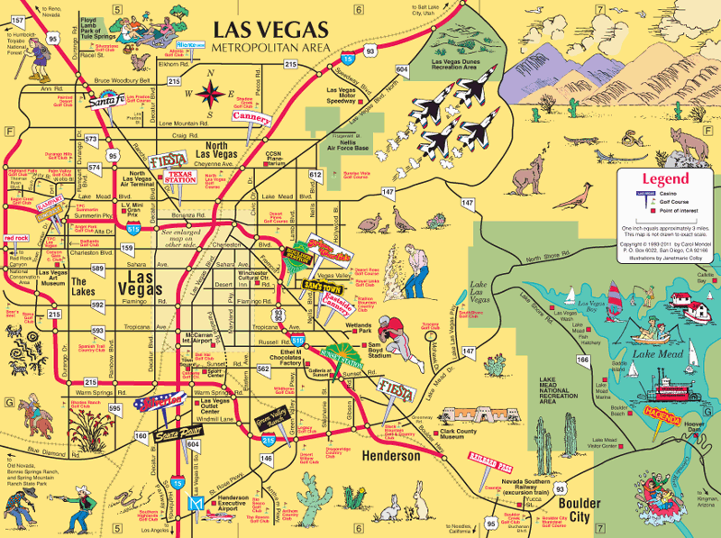
This 12" x 9" map of the Las Vegas metropolitan area is on the back side of the Las Vegas Visitor's Map.
Copyright © by Carol Mendel