Carol Mendel's
illustrated map of the
Palm Springs & Desert Resorts area
Carol Mendel's illustrated maps are full-color, pictorial maps of major visitor destinations. The large type makes them easy to read, and the many illustrations make them fun to use.
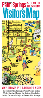
The main map in this visitor map was a 24" x 18" map covering the entire Palm Springs area, including the string of resorts extending from Palm Springs to Coachella.
Although the paper version of this map is no longer published, the main map is currently available in the form of a wooden serving tray.
On the tray you will find such attrations as the Palm Springs Aerial Tramway, the Agua Caliente Indian Canyons, The Living Desert, the Palm Springs Air Museum, and Joshua Tree National Park.
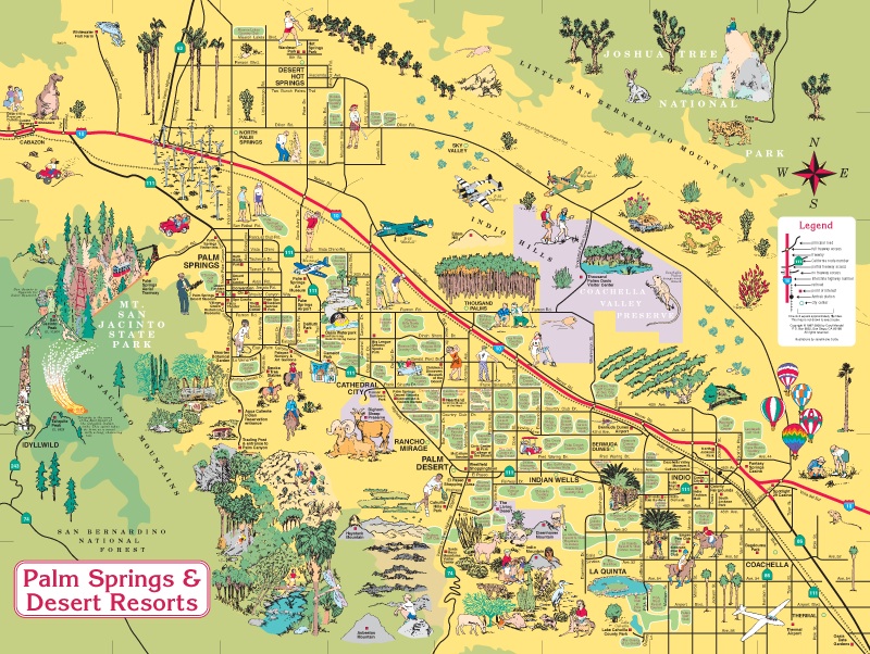
This is the original map.
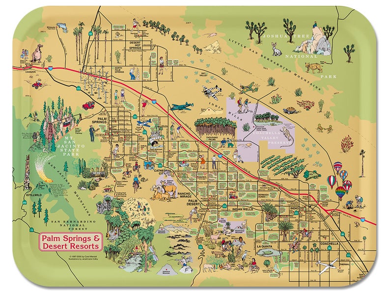
This is the wooden serving tray baseed on that map. [DETAILS]
Copyright © by Carol Mendel