Carol Mendel's
illustrated maps
of the San Diego area
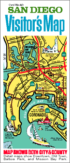
Carol Mendel's illustrated maps are full-color, pictorial maps of major visitor destinations. The large type makes them easy to read, and the many illustrations make them fun to use.
The main map in this visitor map was a 24" x 18" map covering all of San Diego County.
The other side of the map included maps of downtown San Diego, Balboa Park, Mission Bay Park, and Old Town State Historic Park.
Although the paper version of this map is no longer published, maps from it live on in other ways.
The map of San Diego County lives on as an interactive map on this website. Clicking on the names of the communities and visitor attractions found on the map takes you to their websites. See below.
In addition, two of the maps – San Diego County and Downtown San Diego -- live on as wooden serving trays. Again, see below.
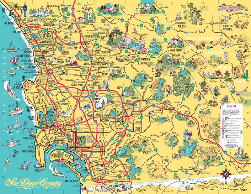
This is the map of San Diego County that appeared in the San Diego Visitor's Map. It is not drawn to exact scale. Metropolitan San Diego is greatly expanded to show its many important roads.
To reach the interactive version of this map, click on the area where you want to begin:
Central San Diego
Oceanside-Carlsbad area
Escondido area
Ramona-Julian area
Anza-Borrego State Park
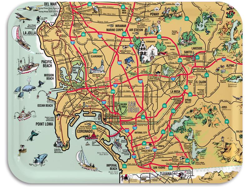
This wooden serving tray based on that map is available. [DETAILS]
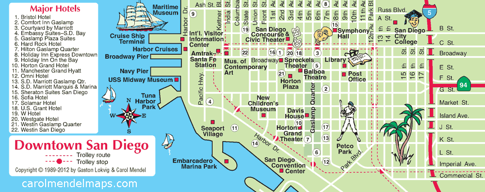
This map of downtown San Diego was in the 2012 version of the San Diego Visitor's Map.
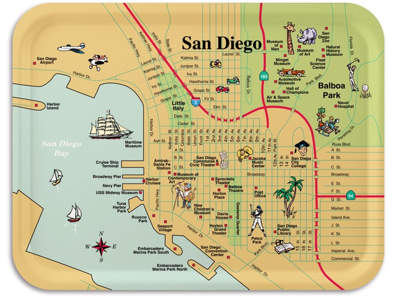
This wooden serving tray based on that map is available. [DETAILS]

Enjoy walking tours?
Check out these walking tours of San Diego.
Copyright © by Carol Mendel