Carol Mendel's
illustrated maps
of Oregon
Carol Mendel's illustrated maps are full-color, pictorial maps of major visitor destinations. The large type makes them easy to read, and the many illustrations make them fun to use.
Although the folded paper version of the Oregon Visitor's Map is no longer published, three maps from it -- the map of the entire state, the map of western Oregon, and the map of downtown Portland -- live on as wooden trays.
The original maps and the wooden trays based on them are shown below.
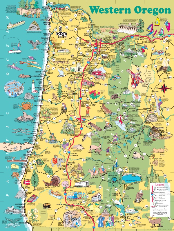
This is the original map of western Oregon. For an enlarged version of this map, plus additional information about it, go here.
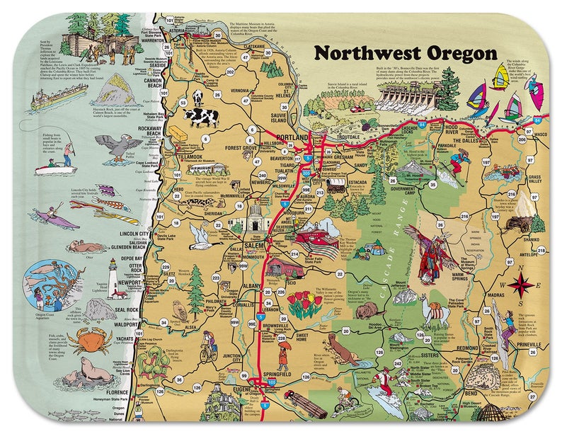
This wooden serving tray is based on the northwest area of the map shown above. [DETAILS]
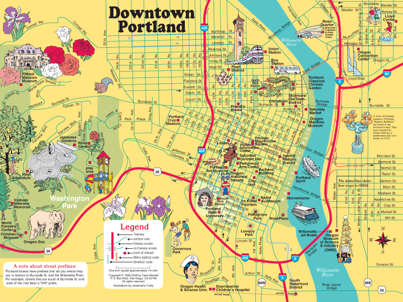
This is the original map of downtown Portland. For an enlarged version of this map, plus additional information about it, go here.
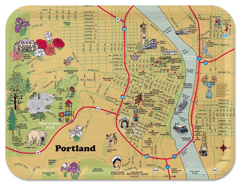
This wooden serving tray is based on the map of downtown Portland shown above. [DETAILS]
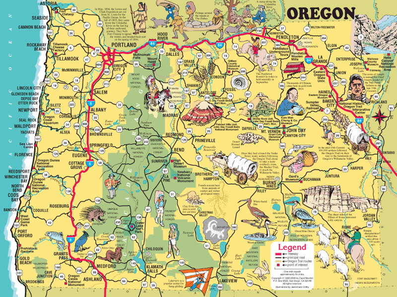
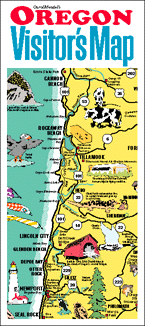
This is the original map of the entire state.
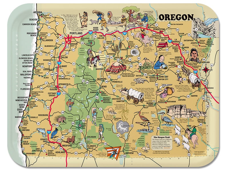
This wooden serving tray is based on the map of Oregon shown above. [DETAILS]
Copyright © by Carol Mendel