Carol Mendel's
Map of Western Oregon
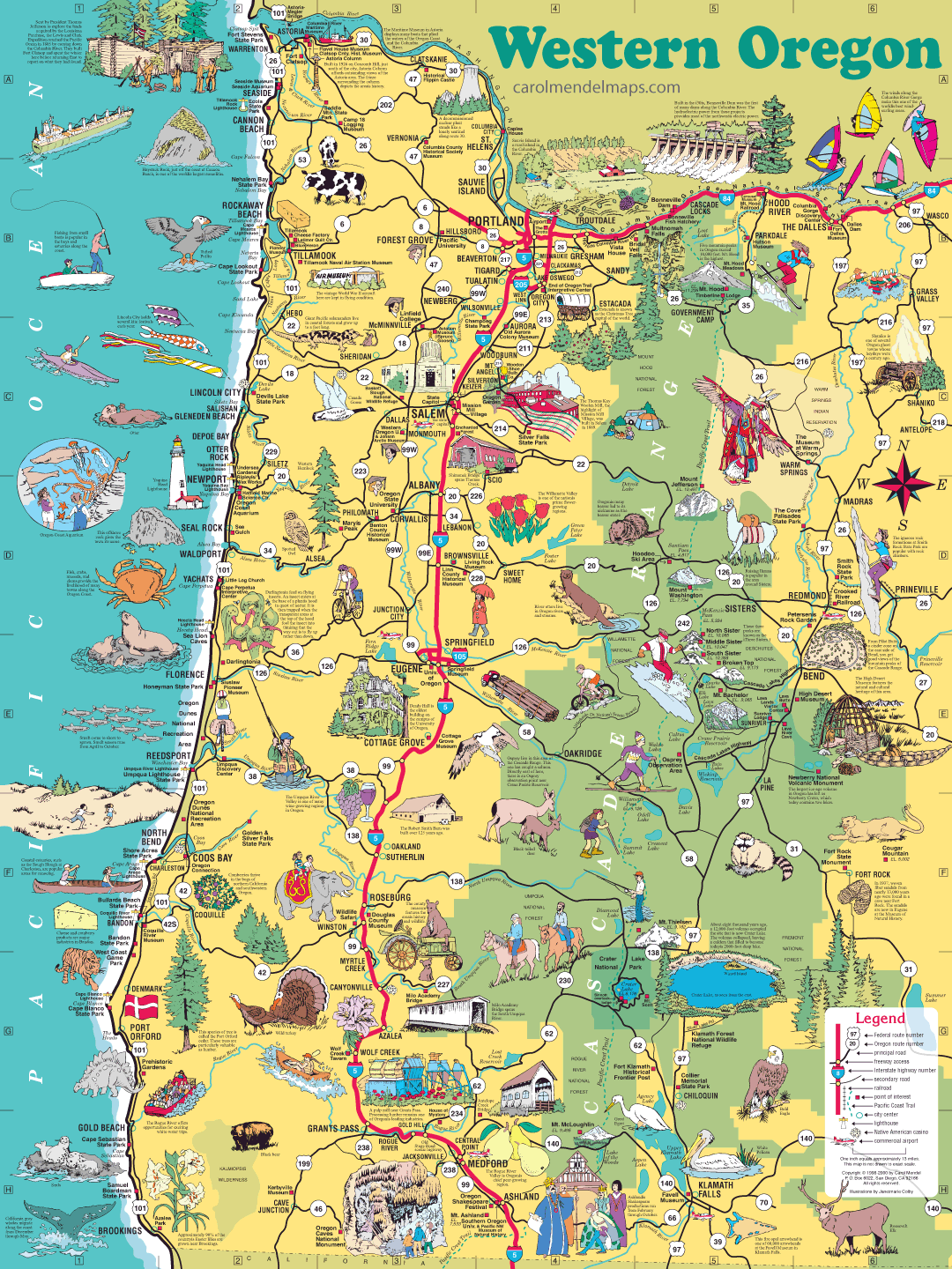
The map covers the western part of Oregon, the most populous and most visited part of the state.
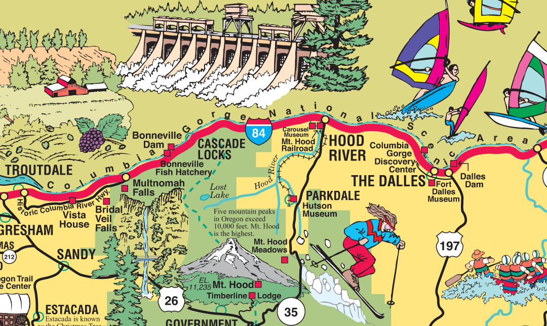
This enlarged section of the map shows the clarity provided on the laminated map.
Sorry, this map is now sold out.
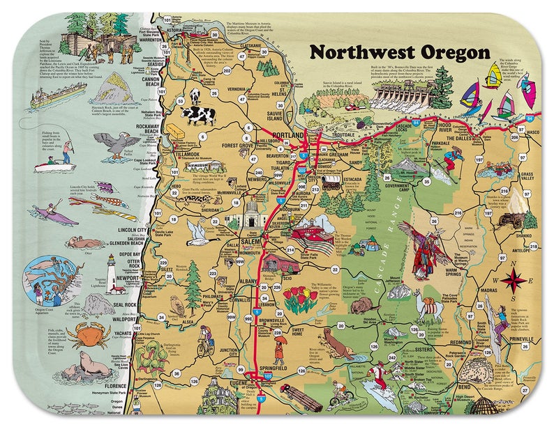
This wooden serving tray is based on the northern area of the laminated map. It can be purchased on Amazon or Etsy. [DETAILS]
The first edition of this map came out in 1998 as part of a two-sided, folded map that was sold at visitor attractions, convenience stores, gas stations, and similar locations. That was back in the days before GPS revolutionized the map industry.
On the back side of the map were printed two smaller maps: one of downtown Portland and one of the entire state. More information about these other maps is available here.
Some of those printed maps were never folded, but instead were laminated. The laminated maps were used for promotional display at retail locations, as well as sold to people who wanted a unfolded map they could put up on one of their walls.
As maps became available on computers, cellphones, and other devices, the popularity of folded paper maps declined, so much so that I no longer publish them. But I still have some of the laminated maps, and map-lovers still enjoy them, which is why I sell them here. The laminated map for sale here is the 2000 version of the map.
|
The laminated maps in this series:
|
|
|
Las Vegas
Los Angeles Salt Lake City San Francisco Bay Area |
Santa Barbara
Western Oregon Washington DC |
Copyright © by Carol Mendel