Carol Mendel's
Downtown Salt Lake City map
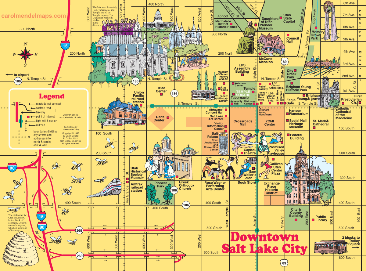
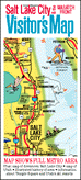
This map of downtown Salt Lake City is part of Carol Mendel's Salt Lake City & the Wasatch Fromt Visitor's Map, a printed map 18" wide by 24" high.
Covering one entire side of the printed map is a pictorial map showing the Salt Lake City metropolitan area, featuring main roads and visitor attractions.
 The downtown Salt Lake City map measures approximately 12" wide by 9" high, and is one of two smaller maps included on the other side. The other map is one of the state of Utah. An index covers all the maps.
A folded version of the map costs $5, and an unfolded, laminated version costs $15. The price includes shipping, handling, and (where applicable) sales taxes, as long as the map is mailed to a U.S address. To order a map, go HERE.
|
Downtown maps of other cities
The illustrated maps on this website include many downtown maps. Here's the full list: |
|
|
Los Angeles
Pasadena Portland Sacramento Salt Lake City |
San Diego
San Francisco Santa Barbara Solvang Washington DC |
Copyright © by Carol Mendel